
News and Announcements
Borough News
All News
- All
- Employment
- News & Announcements
The Summer 2026 Town Crier (Volume 40, Issue 3) has been published and is ready to view. We invite residents to take a look at the latest community...
The Hollidaysburg Borough Authority is pleased to present to you this month’s “Quality on Tap” Hollidaysburg Borough Authority Water Quality...
ALLEGHENY STREET TREE TRIMMING/HOLLIDAYSBURG SHADE TREE COMMISSION Motorists and sidewalk pedestrians are requested to use caution on Allegheny...
The May 2026 Meeting Minutes are now available for public review. Residents and interested parties may view the minutes online by visiting the...
The Hollidaysburg Borough Authority is pleased to present to you this year's "Quality on Tap" Hollidaysburg Borough Authority Water Quality Report
- All
- Employment
- News & Announcements
The Summer 2026 Town Crier (Volume 40, Issue 3) has been published and is ready to view. We invite residents to take a look at the latest community...
The Hollidaysburg Borough Authority is pleased to present to you this month’s “Quality on Tap” Hollidaysburg Borough Authority Water Quality...
Upcoming Events
Community Resources

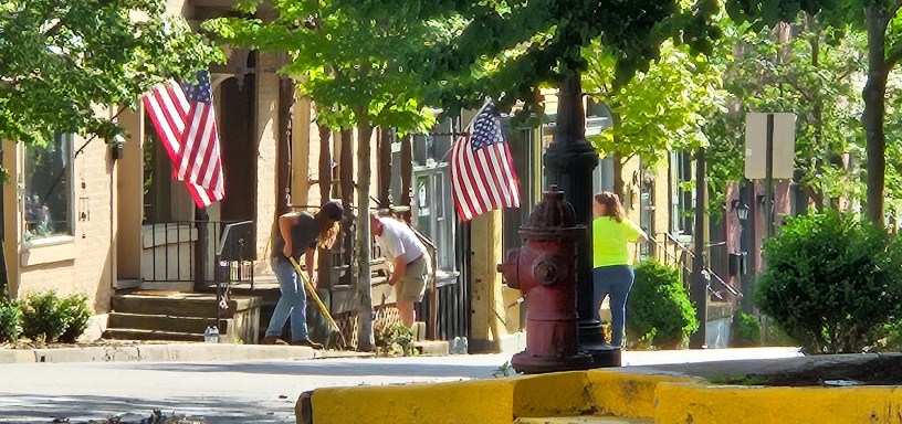
About Hollidaysburg
Discover the rich history, small-town charm, and welcoming community that make Hollidaysburg a truly special place to call home.
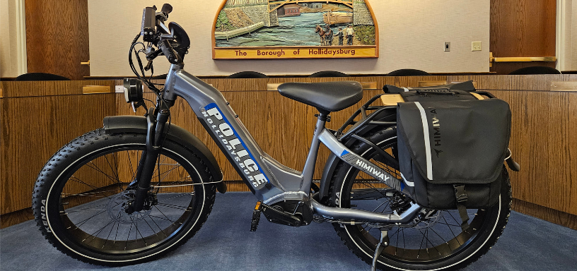
Pedal & Electric Bicycles
Learn essential tips for safe riding of your pedal and electric bicycles while in the borough to ensure a smooth and enjoyable journey.
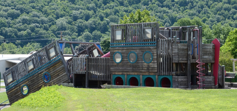
Parks & Gardens
Explore our beautifully maintained parks, peaceful gardens, and outdoor spaces designed for recreation, relaxation, and year-round enjoyment.
Finance & Billing
Explore our finance and billing services to manage your payments and access essential resources for a smooth community experience.
Community Development
Learn how Hollidaysburg manages building permits, zoning regulations and development planning to support responsible growth in our community.

Open Records Policy
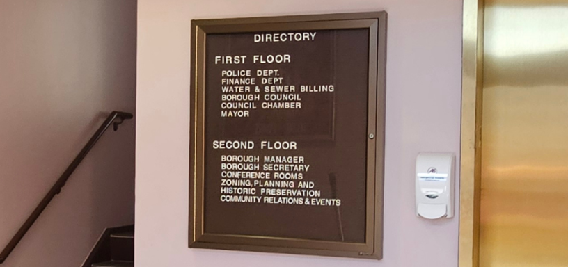
Stay informed by accessing council meeting information, agendas, and updates that highlight important decisions affecting our borough.